
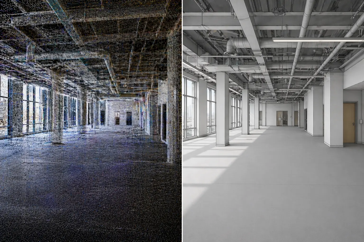
Overview
Our Scan To BIM workflow converts high-density point cloud data captured from LiDAR and terrestrial laser scanners into intelligent, coordinated Revit models that reflect real-world conditions.
We tailor model fidelity to your project needs, ranging from LOD 200 for early-stage planning to LOD 400 for detailed fabrication and installation documentation.
Capabilities
Everything you need from a single team, tuned to your project requirements.
Architectural Modeling
Walls, floors, ceilings, doors, windows, and room geometry modeled to your required LOD.
Structural Modeling
Columns, beams, slabs, and framing modeled from scan data with verified dimensions.
MEP Modeling
Mechanical, electrical, and plumbing systems modeled from visible runs for coordination.
Quality Verification
Deviation reports compare the final model to the point cloud to validate accuracy.
Our Process
A proven, predictable workflow from kickoff to final delivery.
Site Capture
We scan the space with terrestrial and mobile LiDAR to build a registered point cloud.
Registration & QA
Scans are registered, cleaned, and verified against control points for accuracy.
Modeling
Our team builds the BIM model to the agreed LOD directly from the point cloud.
Delivery
We deliver Revit files and supporting documentation, with revisions as needed.
What You Receive
Clear, usable deliverables formatted for your team and downstream workflows.
- Revit (.rvt) model files
- IFC exports for interoperability
- Coordinated MEP, structural, and architectural models
- Deviation / accuracy reports
- Registered point cloud files (RCP/RCS, E57)
Ready to Discuss Your Scan To BIM Project?
Share your project requirements and we'll help you scope the right approach.