
Our Services
Comprehensive reality capture solutions for architecture, construction, and facility management
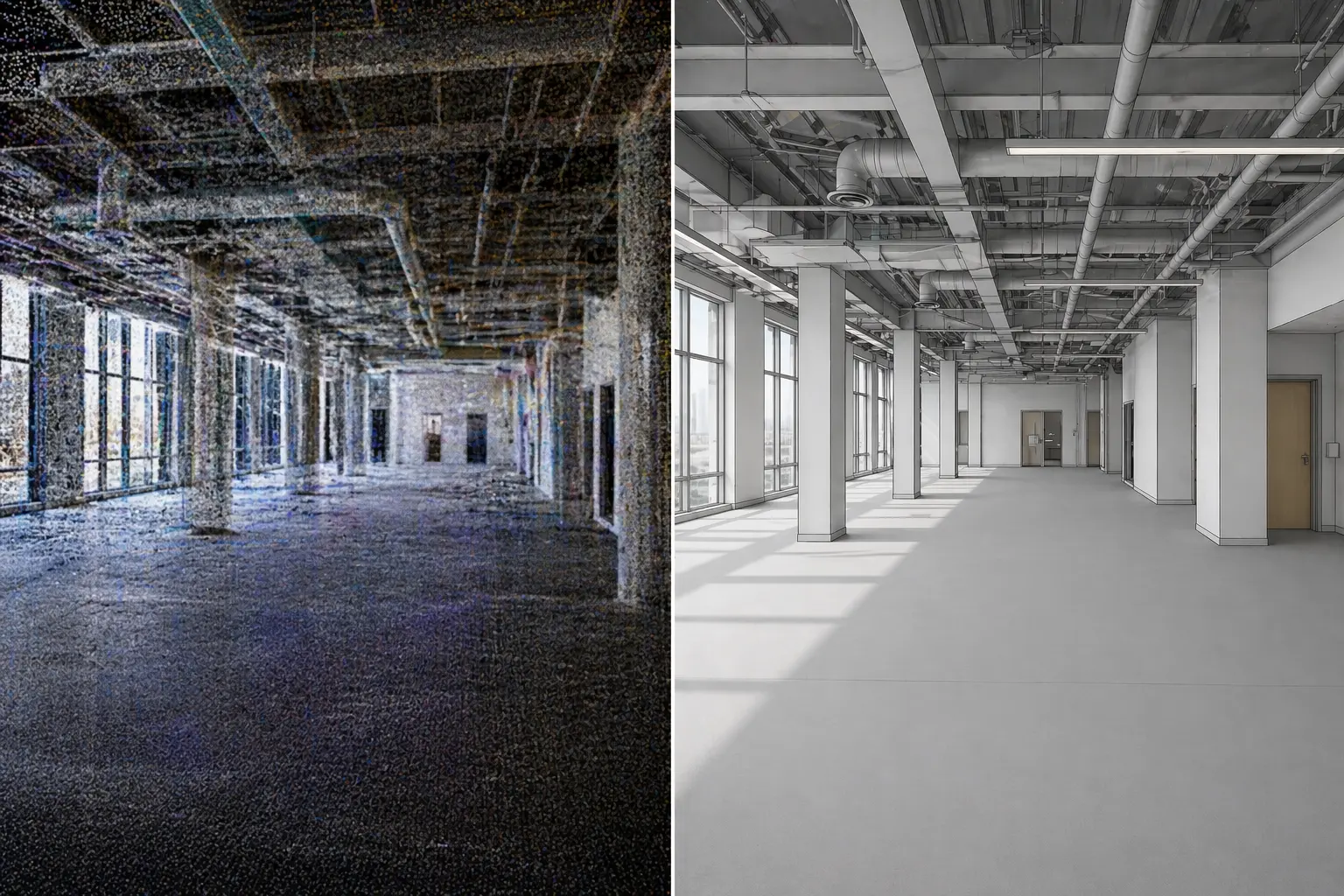
Scan To BIM
Transform laser scan point cloud data into accurate, intelligent BIM models for Revit and other platforms. Streamline renovation and retrofit projects with as-built documentation.
Digital Twin
Create dynamic digital replicas of physical assets that enable real-time monitoring, predictive maintenance, and data-driven facility management decisions.
Clash Detection
Identify conflicts between building systems before construction begins. Compare design models against existing conditions to eliminate costly rework and coordination issues.
3D Mesh Generation
Generate high-quality textured mesh models from point cloud and photogrammetry data for visualization, virtual reality experiences, and digital asset creation.
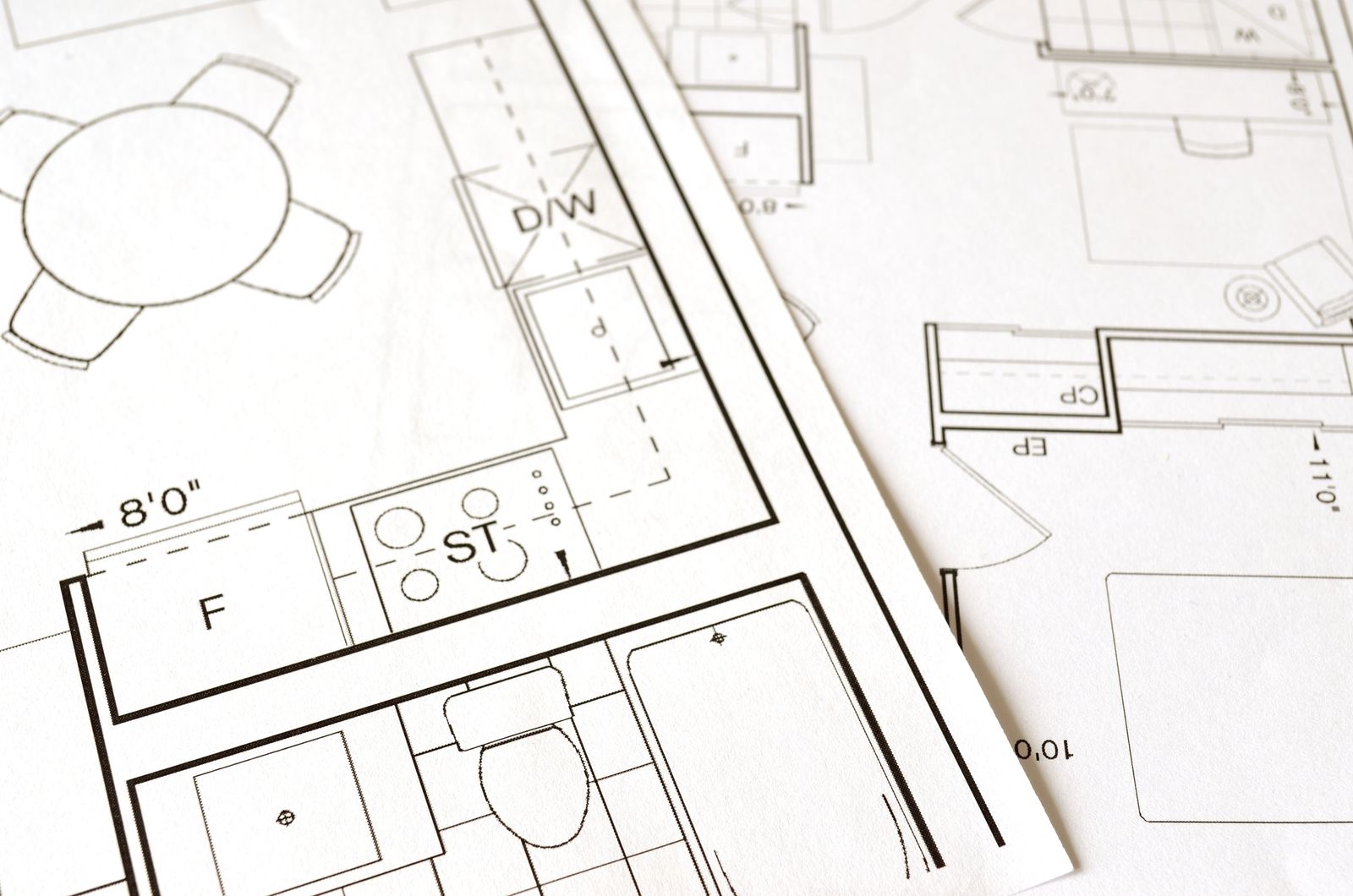
Floor Plan Extraction
Automatically generate accurate 2D floor plans, elevations, and sections from 3D scan data. Deliver CAD-ready drawings with precise dimensions and annotations.
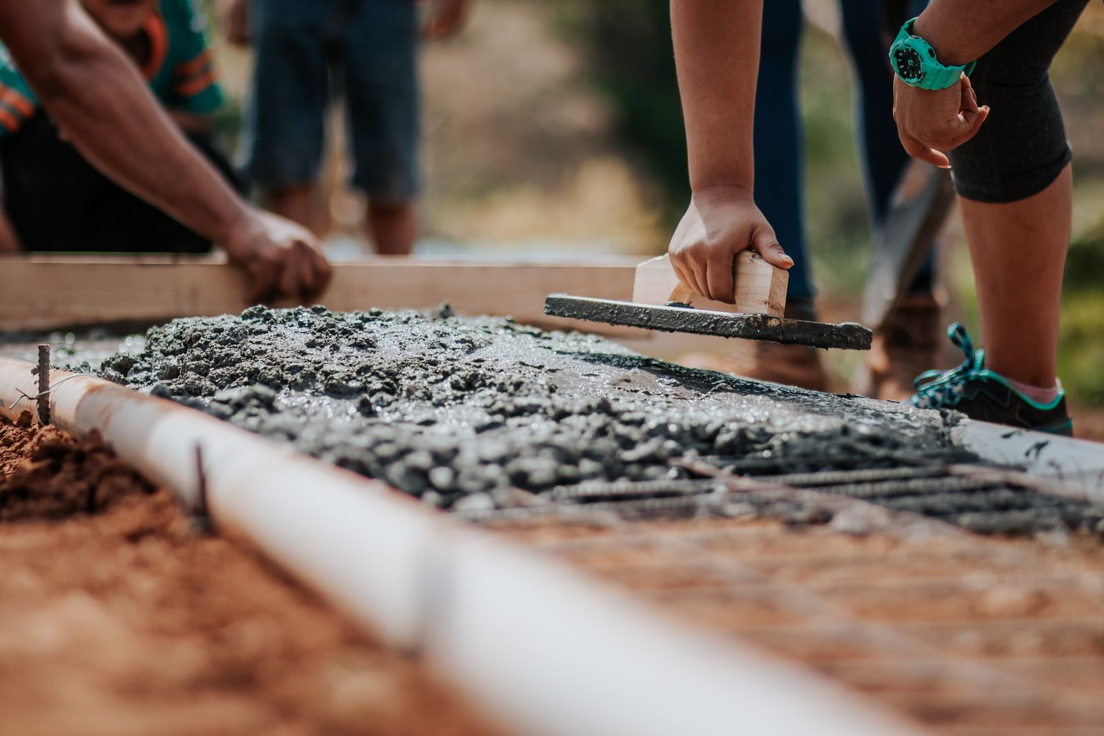
Site Progress Monitoring
Track construction progress over time with periodic reality capture. Compare built conditions against project schedules and identify delays before they impact timelines.
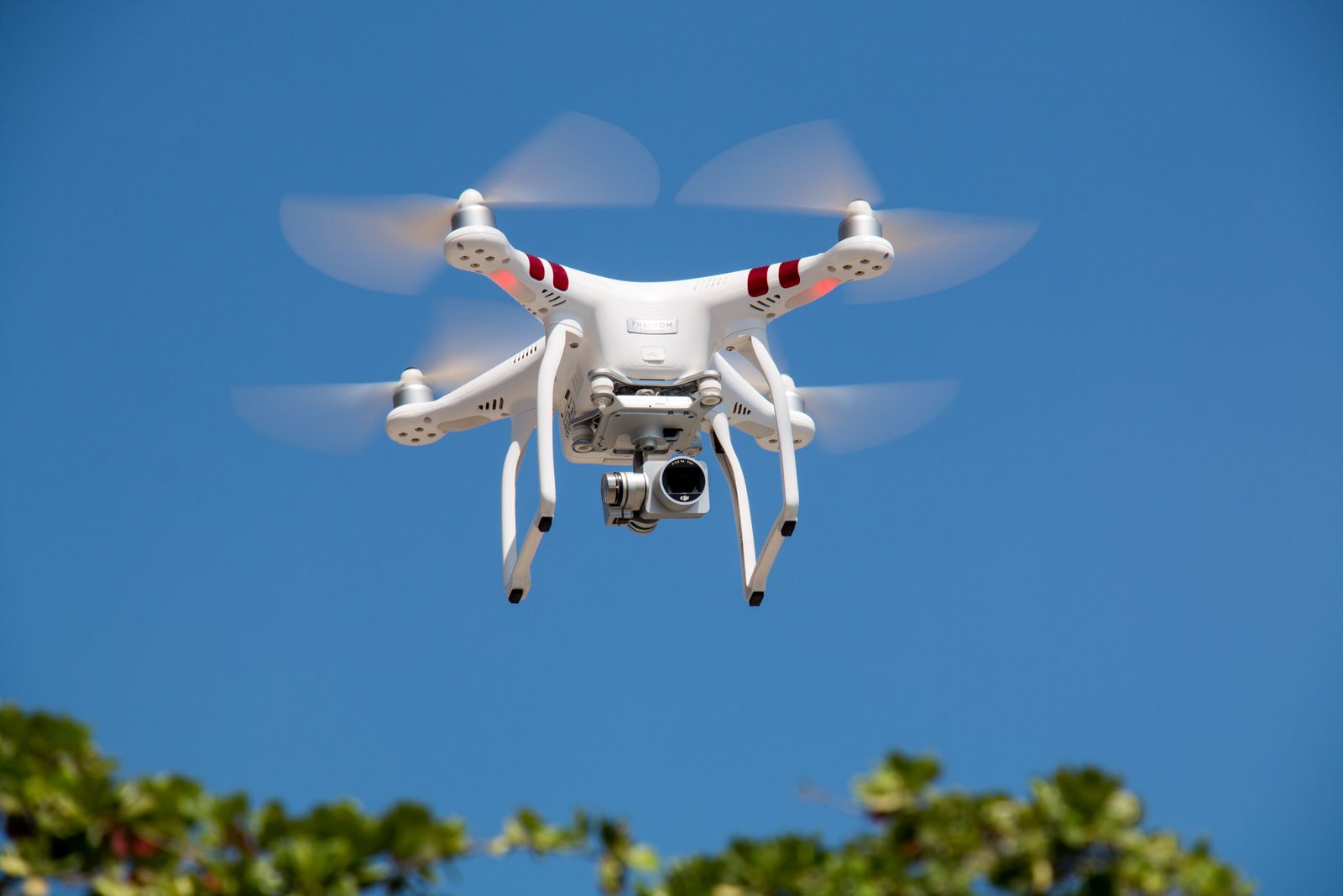
Drone/UAV Scanning
Aerial reality capture using advanced drone technology for site surveys, roof inspections, and large-scale terrain mapping. Capture inaccessible areas safely and efficiently.
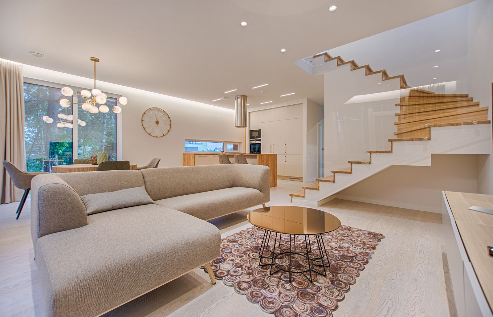
Matterport Scanning
Create immersive 3D virtual tours and digital twins using industry-leading Matterport technology. Perfect for real estate, facilities documentation, and remote collaboration.
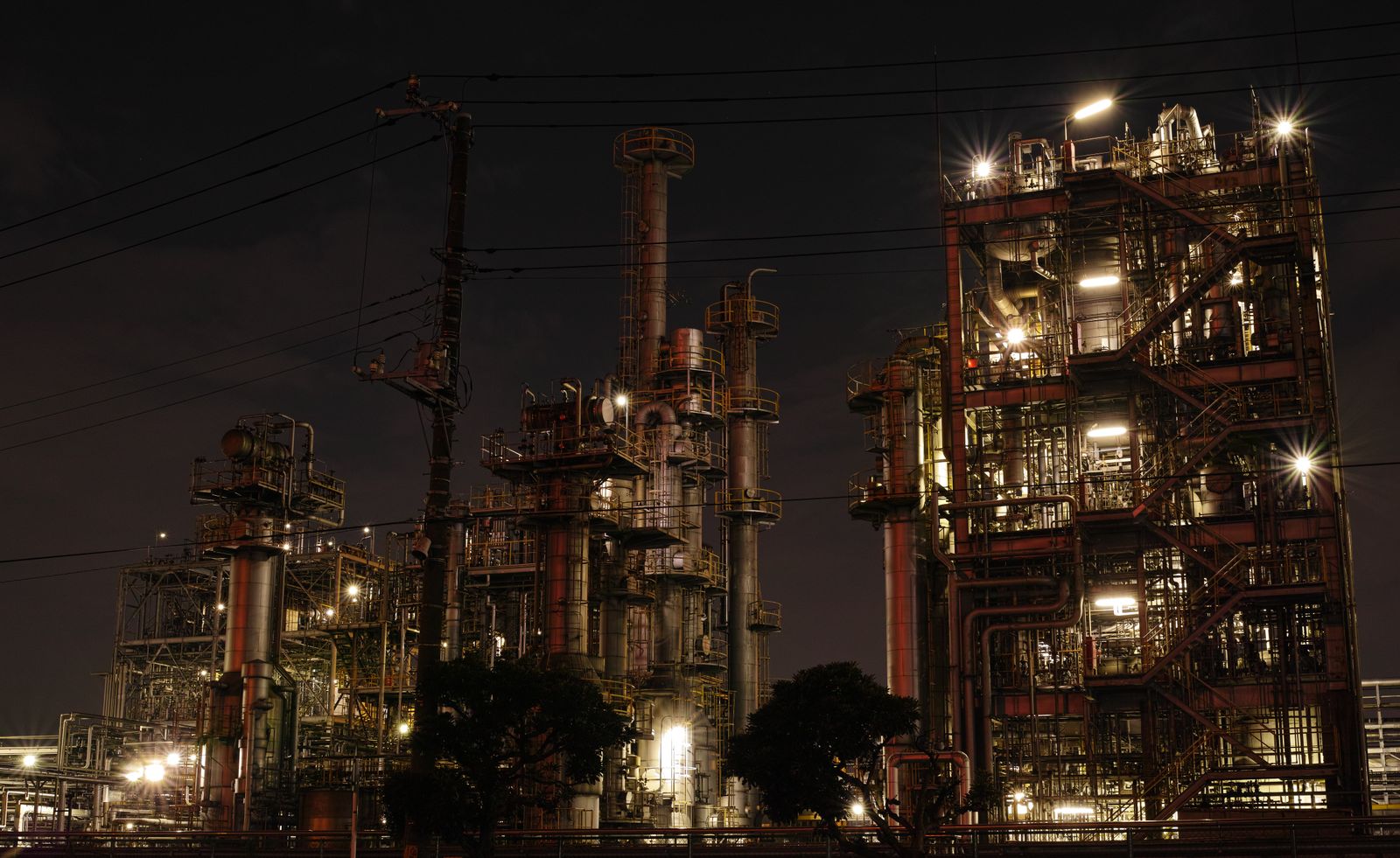
Floor Flatness & Levelness
Precision floor surface testing and analysis per ASTM E1155 standards. Ensure concrete floor slabs meet FF/FL specifications for warehouses, manufacturing facilities, and specialized spaces.
Ready to Get Started?
Every project is unique. We tailor our capture approach to your specific requirements, deliverable needs, and project timeline.
Talk to a Specialist