
Overview
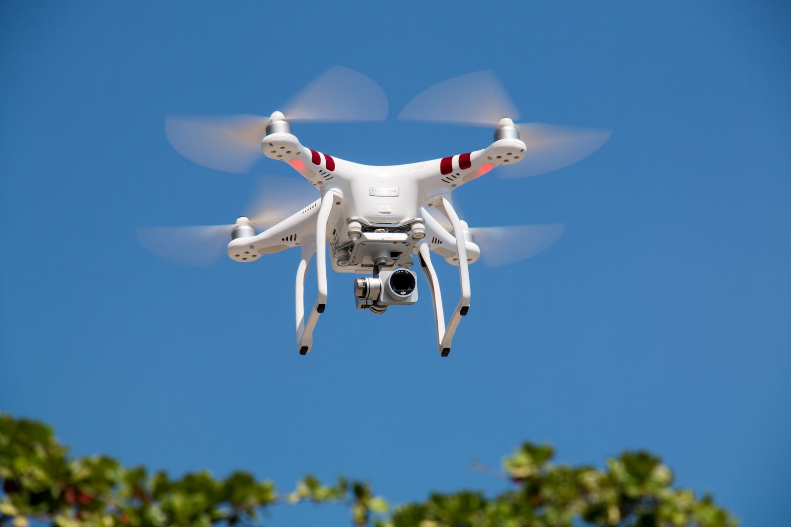
Our FAA-licensed drone pilots capture sites, rooftops, and terrain that are slow, expensive, or unsafe to survey from the ground.
Aerial data integrates directly with terrestrial scans for a complete picture of your site.
Capabilities
Everything you need from a single team, tuned to your project requirements.
Photogrammetry
High-resolution imagery processed into orthomosaics and 3D models.
LiDAR from the Air
UAV LiDAR for dense, accurate terrain and vegetation data.
Inspections
Close-range flights for roofs, facades, stacks, and infrastructure.
Volume & Area
Earthwork volume calculations and site area measurements.
Our Process
A proven, predictable workflow from kickoff to final delivery.
Flight Planning
We plan flight paths, permits, and ground control for accuracy.
Capture
Licensed pilots fly the site with the right sensor for the job.
Processing
Imagery and LiDAR are processed into georeferenced deliverables.
Deliver
You receive orthos, point clouds, and reports in your preferred formats.
What You Receive
Clear, usable deliverables formatted for your team and downstream workflows.
- Orthomosaic maps
- Digital elevation models (DEM/DSM)
- Aerial point clouds
- 3D terrain meshes
- Inspection imagery libraries
Ready to Discuss Your Drone/UAV Scanning Project?
Share your project requirements and we'll help you scope the right approach.