
Some projects are decided entirely inside the building. Others live or die on how the building sits on the site—access, massing, adjacent structures, grading context, and the envelope you are renovating against.
For developers and larger renovations on the Myrtle Beach Grand Strand, interior laser scanning and drone site capture answer different questions. Used together, they give design and construction teams a measured interior and a site-level view that a walkthrough or a single photo set cannot replace.
Estate360 provides as-built 3D laser scanning, LiDAR reality capture, and aerial/drone documentation for projects throughout Myrtle Beach and the surrounding Grand Strand. This post is about when both captures change decisions—not a gadget tour of every sensor.
What each capture is for
Interior laser scan (LiDAR) documents rooms, corridors, and interior geometry as a high-density point cloud. From that, teams can pull dimensional floor plans and CAD-ready reference for renovations, TI, and existing-conditions work.
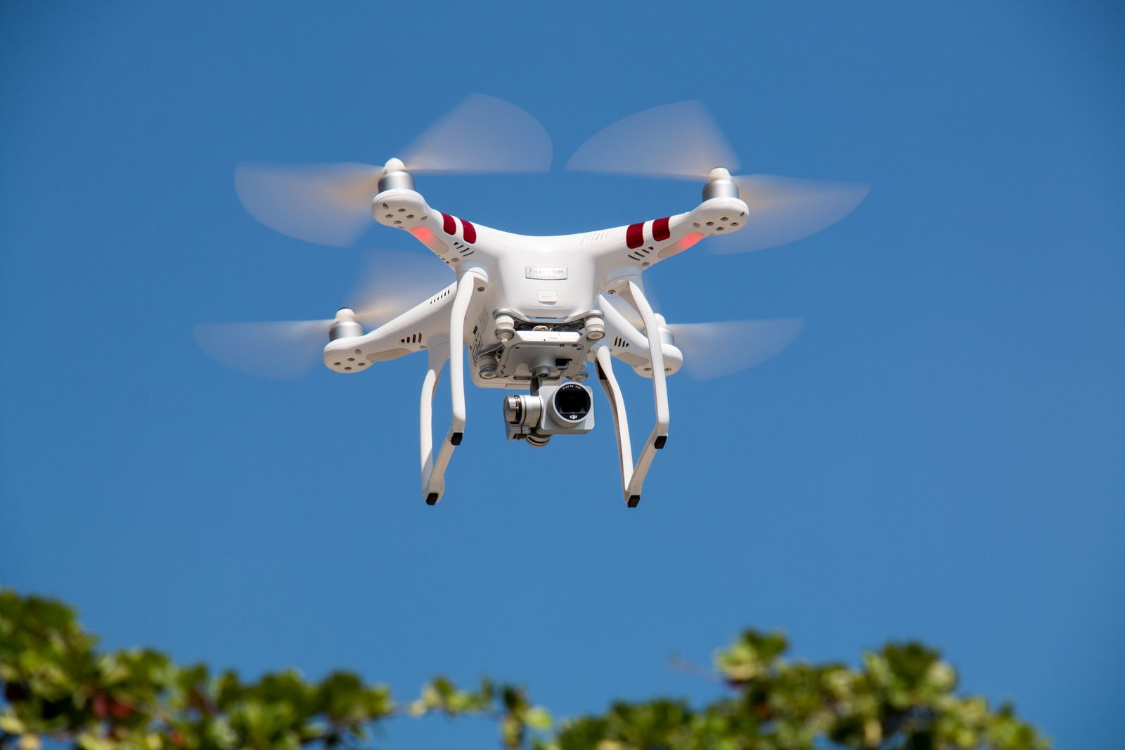
Drone / aerial site capture documents the building in context—roof and exterior massing, site layout, and surrounding conditions that interior scans do not cover. It supports site planning conversations, exterior scope, and “how does this building sit?” questions that never show up in a floor plan alone.
One is not a cheaper version of the other. An interior point cloud will not replace a roof-and-site overview. A drone orthophoto will not give you millwork clearances inside a suite.
When both change the decision
Combined capture earns its keep on larger or more complex jobs, such as:
- •Adaptive reuse or multi-phase renovations where interior layout and site/envelope constraints both matter
- •Developer due diligence before a major rehab budget locks
- •Projects where architects need interior geometry and site context in the same planning window
- •Coastal or constrained sites where access, adjacent buildings, or exterior conditions affect the renovation approach
- •Stakeholder groups split between “inside the rooms” and “outside the building”
On Grand Strand coastal renovations and larger commercial rehabs, a common handoff is an interior point cloud and dimensional plans for the design team, plus aerial site context for developers and architects who need the building-in-place view—and a walkthrough for remote owners.
What you typically receive
Depending on scope:
- •Interior LiDAR point cloud
- •Dimensional floor plans / CAD-ready reference (when scoped)
- •Visual walkthrough of interior areas
- •Drone site imagery / site context deliverables as scoped
- •A short scope record (areas covered, date, interior vs aerial outputs)
Honest limits: neither capture replaces a licensed survey when one is required, and neither invents conditions that were inaccessible or out of scope.
How to decide: interior only, aerial only, or both
Ask:
- Will someone design or bid against interior dimensions? If yes, plan interior laser.
- Will someone decide based on roof, site, massing, or exterior context? If yes, plan drone/site capture.
- Are both decisions on the critical path in the same phase? If yes, scope them together so the team shares one dated package.
If the job is rooms-only renovation with no site questions, skip the drone. If the job is site/roof context with no interior design work yet, skip the full interior laser until you need it. Related reading: 3D Reality Capture Services in Myrtle Beach and the Grand Strand, Dimensional Floor Plans from Reality Capture, and As-Built 3D Scanning for Renovations. For tour vs laser indoors, see Matterport Tour vs Laser Scan As-Builts.
Who this is for
Developers, architects, general contractors, and owners running larger renovations or multi-building work on the Grand Strand. A typical fit is a multi-phase coastal rehab on a tight lot, where the design team needs interior geometry and the developer needs to see how the building sits against access, neighbors, and the exterior envelope before the next phase is scoped.
Get started
If your Myrtle Beach or Grand Strand project needs interior laser scan data, drone site context, or both scoped as one package, Estate360 can help.
Reach out at sales@estate360.us or estate360.us/contact. Call 843-306-8063.