
Reality Capture for Property Insight
Turning physical spaces into usable data for design, renovation, and planning.
What We Do
We capture accurate spatial data and visual documentation to help you understand existing spaces before design or construction begins.
Reality Capture & 3D Scanning
High-precision laser scanning and photogrammetry to create accurate digital twins of existing spaces and structures.
Visual Documentation
Professional photography and video documentation to capture conditions, details, and spatial relationships.
Aerial & Site Capture
Drone-based imaging and mapping for site analysis, context documentation, and aerial perspectives.
Key Deliverables
Accurate, usable data formats for design, planning, and collaboration.
Dimensional Floor Plans
Point Cloud Data
3D Virtual Tours
CAD-Ready Models
Orthographic Imagery
Site Maps & Elevations
Condition Reports
BIM Integration Files
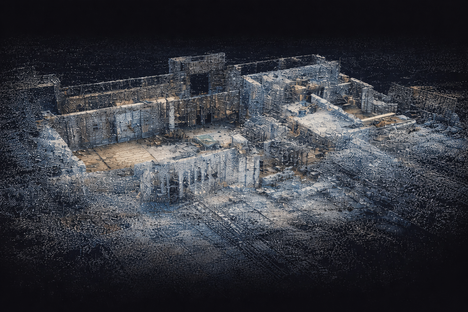
Example Output
Point Cloud Data
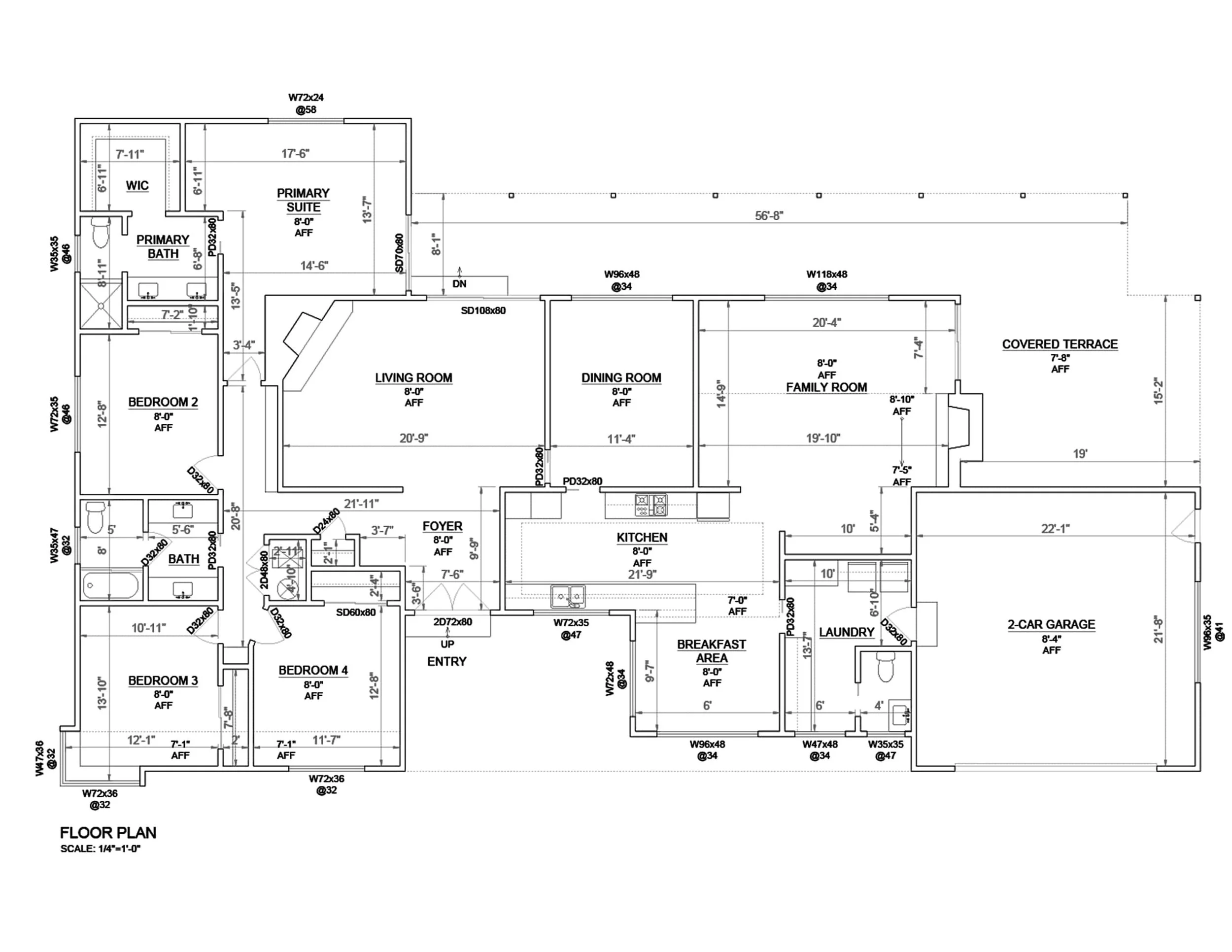
Example Output
Dimensional Floor Plans
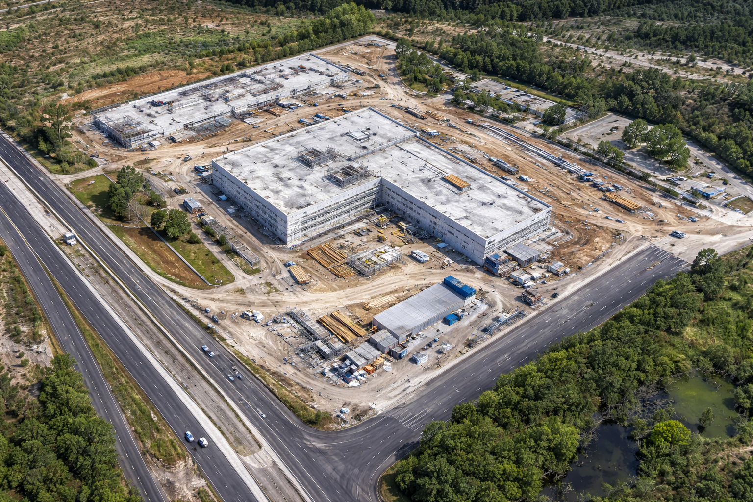
Example Output
Orthomosaic Imagery
Who We Serve
Trusted capture partner for professionals in the built environment.
Architects & Designers
Accurate as-built data for design development and renovation planning.
Builders & Contractors
Precise documentation for estimation, planning, and construction coordination.
Property Owners & Managers
Comprehensive documentation for portfolio management and decision-making.
Hospitality & Vacation Rentals
Space documentation for renovations, operations, and remote management.
Developers
Site analysis and existing conditions assessment for development planning.
Built for the Real World
Estate360 is a capture-first partner for designers, builders, owners, and operators. We focus on accuracy, clarity, and deliverables that teams can actually use.
Capture-first, software-agnostic
Flexible deliverables by project
Visual + spatial documentation in one workflow
Typical deliverables
Interactive 3D walkthroughs
Measurement-verified floor plans
Point cloud / reference data
High-resolution photo documentation
Aerial context imagery
Ready to Document Your Project?
Get accurate existing conditions data to support confident design and planning decisions.
Request a ScanLatest Insights
Industry knowledge and best practices from the field
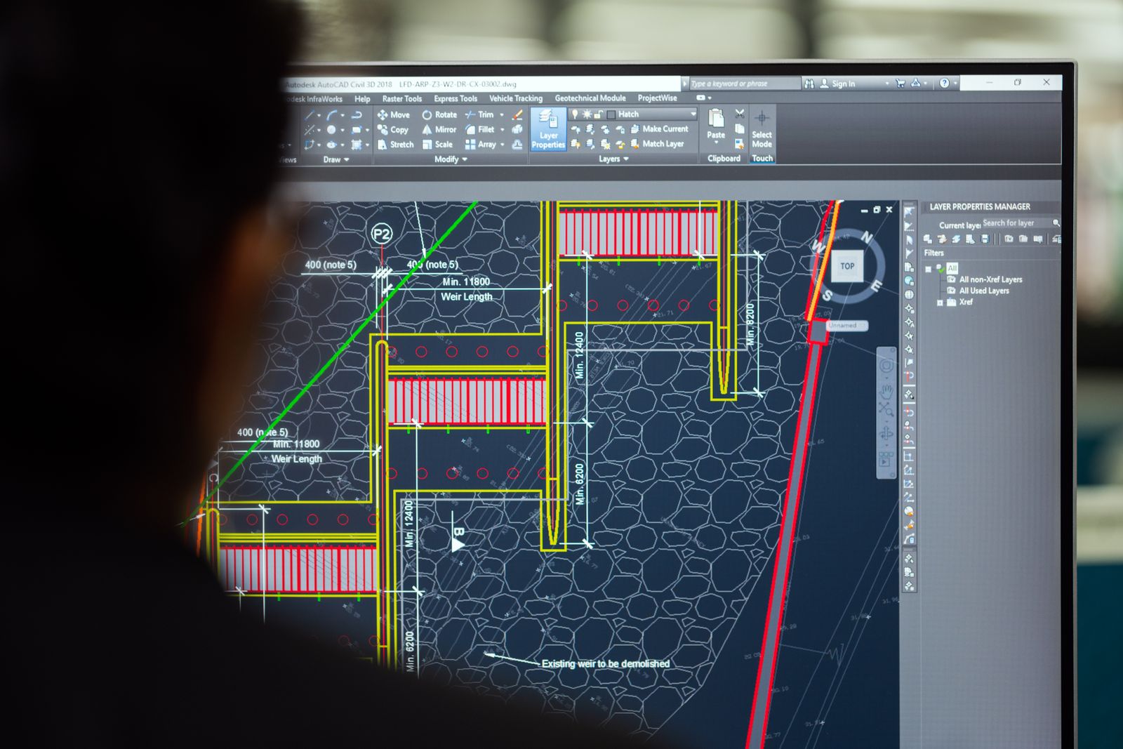
Scan-to-BIM and CAD-Ready Point Clouds for Architects on the Grand Strand
For Myrtle Beach architects: what CAD-ready and BIM-ready laser point clouds mean in practice—formats, who opens them, and when BIM is overkill.
Read More
Interior Laser Scan + Drone Site Context for Developers and Larger Renovations
When Myrtle Beach developers and larger renovations need both interior laser scans and drone site context—and how the two deliverables change decisions together.
Read More